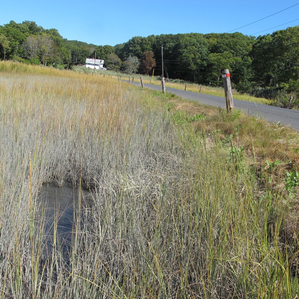
Old Quarry Road in Guilford, which floods regularly. Residents have voted to raise it, even though only a half-dozen households will benefit from the expensive job.
Wrack Lines, Fall/Winter 2013-2014

Not too long ago, a municipal conservation director’s job centered around maps, meetings and the occasional field walk. But these are not normal times. The effects of climate change on the rate of sea-level rise has hit the streets of every coastal town in Connecticut. The Greenwich conservation director, Denise M. Savageau, has added a new duty to her job: during major storms, she works at the town’s emergency operations center, where, watching flood gauges, she directs firefighters and ambulance drivers away from roads she knows will always flood.
What used to be normal life for coastal New England has changed. “At moon tide, we’re starting to see normal flooding,” Savageau says. “That’s going to be more and more the case.” Greenwich, like many coastal towns now, has changed building standards in its comprehensive plan. It has altered drainage engineering standards for roads. Those who never dealt with floods before find themselves as of this year living in newly identified flood zones under new Federal Emergency Management Agency (FEMA) flood maps. Officials struggle to protect their low-lying sewage treatment plants. Residents come to town hall asking how they can elevate their old houses above the flood waters.
The future will bring more waters creeping inland not only on the coast of New England, but around the world. How much? Scientists are not certain. Daniel Grossman in his book, Deep Water, writes: “The reasonable range of possible sea level rise this century varies from a couple feet to about 16 feet. The difference between the two ends of this spectrum in terms of cost and suffering is huge.”
Two feet of sea-level rise over one century might be accommodated. But, Grossman writes, 16 feet would “catastrophically damage” coastal properties. “Shoreline homes along much of the U.S. coast, including some of our most valuable property, would be past hope,” he writes.
It’s time to get used to at least the low-end of the scale, southern New England officials are showing in so many ways.
A new report, “Cost Efficient Climate Change Adaptation in the North Atlantic,” by Judd Schechtman and Michael Brady of Rutgers University and supported by the National Oceanic and Atmospheric Administration, Sea Grant, and the North Atlantic Regional Team, profiles 34 cities, towns, or regional areas from Virginia to Maine.
Municipal officials no longer spend any time asking if climate change is real. Climate change is here, and its effects have damaged and threatened roads, houses, and facilities for several years as the rate of sea-level rise and storm surges have increased faster than anyone would have predicted 50 years ago. Greenwich dates its major problems with flooding to at least 2007, when major floods during two storms covered both Route 1 and the Merritt Parkway in Connecticut’s westernmost town of 62,000 people. Irene in 2011 and Sandy in 2012 brought worse to the already altered seas. Sea level today has reached barely below street levels in many areas.
Groton, the southeastern Connecticut town where submarines are built at Electric Boat, has been dealing with the fact that the coast has moved 100 feet inland since 1888. And the report quotes new research showing that the rate of sea-level rise there has doubled since 1980 to 4 millimeters per year. Groton, a town of 40,000 that includes the western half of Mystic, took part in a planning exercise funded by the U.S. Environmental Protection Agency and the state of Connecticut in 2010. One hundred officials attended three workshops. (See the report, published in 2011.)They heard the sobering statistics including that sealevel rise has sped up to about 4 millimeters per year in their region, and that major storms hitting land are more intense today. And they discussed major changes. These include new zoning regulations that encourage development away from the coast, a review of where the town schools are located, and an effort to teach the public about which areas are prone to flooding.
The struggles of these towns, and officials’ willingness to change how they build and protect their infrastructures because of climate change, mark a sea change for American officials that has begun in local boardrooms. As the report says, “Local governments are on the forefront of responding to and preparing for coastal threats, and they are more than willing and able to take on the task. Localities recognize the interdependent nature of managing coastal risks from climate change, and that partnership is necessary for successful planning to work. Guilford, the third Connecticut town the report profiles, has joined with The Nature Conservancy and Yale University in planning for climate adaptation. The conservancy developed a GIS-based tool showing how the rising seas are expected to change in ten regions around the world—including New York and Connecticut, where the sea levels hover only inches below billions of dollars’ worth of coastal property; the Gulf of Mexico; the Gulf of California; Puget Sound; the U.S. Virgin Islands, the Florida Keys; and more. The report suggests a framework to assess and act upon the risks these changes bring to local areas. Guilford, using the information it gleaned, has drafted a coastal resilience plan that the partners hoped would inspire other towns, said George Kral, the Guilford town planner.
Pulling together when it might not seem so easy
The struggle to adapt highlights the differences between the rich and the not-so-rich, those who can afford to raise their houses and rebuild, and those who cannot. Making the transition has pulled some communities more tightly together in an encouraging way. In Guilford, residents this year voted to use local taxes for an expensive raising of an often-flooded road to the wealthy coastal neighborhood known as Old Quarry.
For the rest of the story, see the full article in Wrack Lines.
About This Article
My editor was Peg Van Patten, who edits Wrack Lines in the Connecticut Sea Grant office (at the University of Connecticut at Avery Point). A version of this story later appeared in the Yale Forum on Climate Change and the Media. Bud Ward edited that story, in which I included other examples of deaing with flooding.
